I 99eBooks è una directory di eBook. Cerchiamo e classificato intorno alle eBooks Web per te!
Tutti i diritti riservati. I libri e libri elettronici sono di proprietà dei rispettivi proprietari.
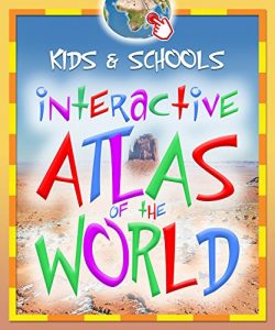
Interactive World Atlas for Kids and Schools: Tap and Learn, for children, youth and family (e-Atlas Book 1) (English Edition)
THE INTERACTIVE ATLAS OF THE WORLD FOR KIDS AND SCHOOLS (BOOK 1) lets readers learn about the world and its attractions through relaxed and fun interactive “TAP AND LEARN” play.
The Atlas of the World in a design that comprises only 64 interactive pages (32 spreads), features:
- 37 maps (WORLD, CONTINENTS AND REGIONS), with accompanying texts
- more than 280 POP-UPS and hot spots with geographical points of interest
- STATISTICAL DATA for EVERY COUNTRY of the world
- more than 400 COLOR PHOTOGRAPHS, illustrations and pictograms.
Through a simple, interactive and contemporary concept & design, our geographical atlas is designed:
– to develop independent RESEARCH AND CREATIVITY
– to motivate and assist in LEARNING
– an ability to ENLARGE ALL MAIN ELEMENTS for practical use on all computers, tablets and smartphones, including.
With its playful and imaginative layout and interactive access to information, it will soon become an indispensable tool in a NEW KIND OF CREATIVE LEARNING through entertainment.
MONDE NEUF is a company with more than 25 YEARS OF EXPERIENCE in computer-generated maps. We have published more than 90 titles in different countries and have received extensive recognition from ministries of education and professionals around the globe.
ATLAS SERIES:
- BOOK 1: Interactive Atlas of the World for Kids and Schools
- BOOK 2: Interactive History World Atlas for Kids and Schools
